SHOM Charts
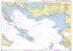
 Over 800 charts worldwide
France's Naval Hydrographic and Oceanographic Service charts cover waters for many areas of the world, providing commercial and recreational mariners with important navigational information.
SHOM charts are available here:
- Adriatic
- Africa
- Algeria
- Antarctic Ocean
- Balearic Islands
- British Isles
- Canary Islands
- Caribbean Sea
- Channel Islands
- Corsica-Sardinia
- France
- Greece
- Indian Ocean
- Ireland
- Italy
- Mediterranean
- Morocco
- North Atlantic Ocean
- Pacific Islands
- Pacific Ocean
- Portugal
- Red Sea
- Spain
- Special
- Tunisia


