

NGA
- North America
- Central, South America
- Western Africa, Mediterranean, Black Sea
- Eastern Africa, Southern Asia
- Australia, New Zealand, Indonesia, Papua New Guinea
- South Pacific Islands
- Eastern Asia, South Eastern Russia, Philippines
- Other Regions
Canadian
Caribbean and Mediterranean
Norwegian
SHOM
SEMAR
U.S.
Search by chart title, key word or chart number:
Framed Nautical Charts: Custom Maritime Maps for Coastal Home Decor
The Anchor Piece: Why Framed Nautical Charts Are More Than Wall Art
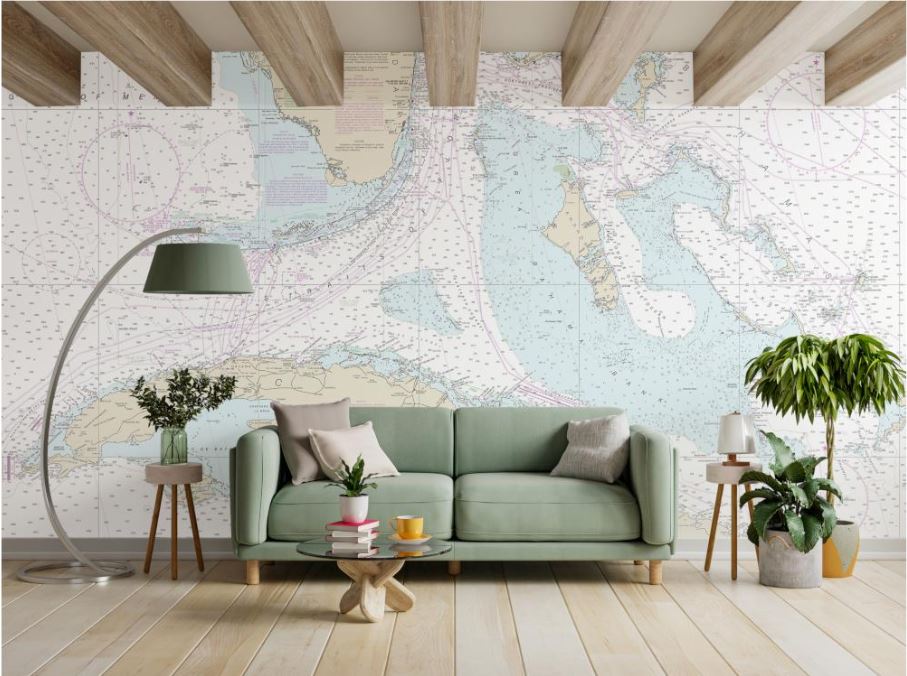
Every coastal house has a view of the water. Exceptional homes show the story beneath it.
Most homeowners searching for nautical wall art end up choosing generic beach prints that could hang in any house along the coast. While attractive, these pieces rarely tell a personal story or create a meaningful connection to a specific location.
Framed nautical charts offer something entirely different. Instead of displaying a stock image of the ocean, they showcase the actual waterways, harbors, bays, and coastlines that matter most to you. Whether it's the harbor where your boat is docked, the lake where your family vacations, or the shoreline visible from your waterfront property, these custom maritime maps transform meaningful coordinates into gallery-quality artwork.
For homeowners seeking elevated coastal home decor, a framed nautical chart becomes the focal point of the room—a sophisticated statement piece that blends personal history, cartographic beauty, and maritime heritage.
Engineering the Modern Frame: Premium Nautical Chart Framing Built for Coastal Living
When investing in framed nautical charts, the quality of the frame matters just as much as the chart itself. Coastal environments present unique challenges, including humidity, salt air, and intense sunlight. That's why our nautical chart framing solutions are engineered for durability, clarity, and long-term preservation.
Rust-Resistant Anodized Aluminum Frames
Every frame is constructed from anodized aluminum designed to withstand humid coastal conditions.
Features include:
- 5/16-inch beveled face
- 7/16-inch profile depth
- Rust-resistant anodized aluminum construction
- Available in Sleek Black and Polished Silver
Unlike traditional wood frames, these modern frames resist warping and maintain their clean appearance for years.
Non-Glare UV Protection
Each framed chart is protected by premium 1/8-inch non-glare acrylic.
This protective layer:
- Minimizes distracting reflections
- Enhances chart visibility from multiple viewing angles
- Blocks harmful UV rays
- Helps preserve print quality in bright waterfront homes
Museum-Quality Print Production
Our framed nautical charts are printed on archival-grade resin-coated photo paper using professional 1200 DPI vector rendering.
This process ensures:
- Crisp chart details
- Sharp typography
- Precise navigation symbols
- Long-lasting color accuracy
The result is a premium piece of nautical wall art that remains both beautiful and highly detailed.
The Master Databases: Choose the Perfect Custom Maritime Map Style
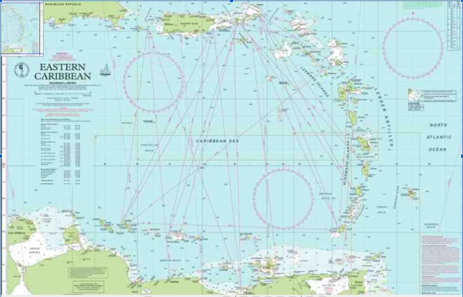
One of the greatest advantages of custom maritime maps is the ability to select a chart style that complements your home's design aesthetic.
NOAA Custom Charts: Clean Coastal Home Decor
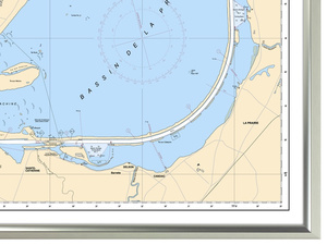
NOAA Custom Charts provide a crisp, modern appearance ideal for contemporary and traditional coastal home decor. Their clean lines and balanced colors create a timeless presentation of U.S. waterways.
NGA International Charts: Global Nautical Wall Art
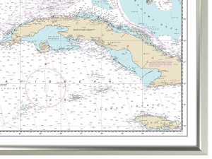
For world travelers and offshore sailors, NGA International Charts showcase major global waterways and ocean passages with commanding visual presence.
Imray Cruising Charts: European Coastal Elegance
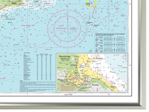
Featuring signature golden-yellow and emerald accents, Imray charts bring a refined European aesthetic to luxury waterfront interiors.
Bathymetric Charts: Abstract Ocean Floor Art
Bathymetric charts reveal underwater terrain through flowing depth contours, creating some of the most visually striking nautical wall art available.
Satellite Fusion Charts: Photorealistic Custom Maritime Maps
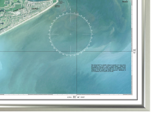
By combining satellite imagery with navigational data, Satellite Fusion Charts create dynamic artwork that showcases both real-world geography and maritime detail.
Historical Archive Reproductions: Vintage Nautical Chart Framing
For collectors and history enthusiasts, historical chart reproductions deliver timeless maritime character through antique styling, vintage typography, and sepia-toned cartography.
Designing Your Space with Framed Nautical Charts
The best framed nautical charts do more than fill wall space—they create a meaningful connection between your home and the water that inspires it.
Whether you're designing a waterfront living room, decorating a yacht club office, selecting memorable gifts for sailors, or enhancing your overall coastal home decor, there is a chart style, size, and frame option that perfectly fits your vision.
Explore our sizing guides, gifting resources, styling inspiration, and destination-specific collections to discover the ideal piece of nautical wall art for your space.
Ready to Design Your Custom Framed Nautical Chart?
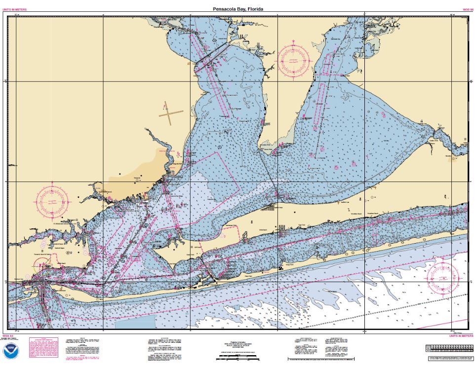
Transform your favorite harbor, lake, bay, or coastline into gallery-quality artwork.
With premium nautical chart framing, museum-quality materials, and access to the world's leading cartographic databases, OceanGrafix makes it easy to create personalized custom maritime maps that celebrate the waters you love most.
Ready to see your coordinates framed in gallery quality? Design Your Custom Framed Chart today.
Ready to Hang & Enjoy
Add style to any space with a framed chart.
- Step 1: Determine chart category for your framed chart.
- Step 2: Pick a chart.
- Step 3: Choose black gloss or silver metalic frame and add to cart.
STEP 1: CHOOSE YOUR CHART CATEGORY


©2026 Nautical Charts Online, All Rights Reserved.