

NGA
- North America
- Central, South America
- Western Africa, Mediterranean, Black Sea
- Eastern Africa, Southern Asia
- Australia, New Zealand, Indonesia, Papua New Guinea
- South Pacific Islands
- Eastern Asia, South Eastern Russia, Philippines
- Other Regions
Canadian
Caribbean and Mediterranean
Norwegian
SHOM
SEMAR
U.S.
Search by chart title, key word or chart number:
Boat Safety for New Captains: A Beginner’s Guide to Staying Safe on the Water
Becoming a captain comes with a unique sense of freedom, responsibility, and pride. Whether preparing for a first season on the water or building confidence after years of boating experience, safety remains one of the most important parts of every journey. While modern electronics have changed navigation dramatically, experienced captains know that preparation and reliable tools are what truly keep crews safe. Through OceanGrafix, new captains can access trusted navigation products designed to support safer and more confident boating on every voyage.
Up-to-Date Nautical Charts for Every Journey
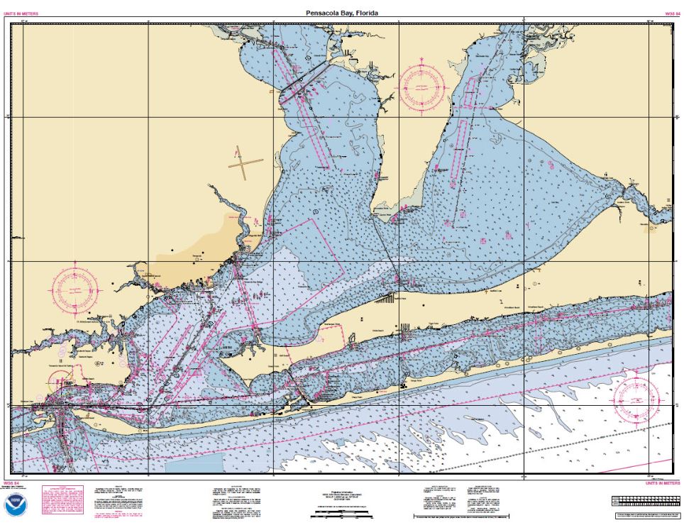
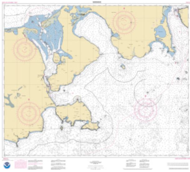
One of the most important tools for any new captain is a reliable nautical chart. OceanGrafix provides National Oceanic and Atmospheric Administration or NOAA charts that are 100% up to date at the time of order, helping captains navigate with the latest available information on waterways, hazards, depths, and navigation aids. These charts are designed by the NOAA to make safety part of every captain’s journey, whether they are navigating familiar local waters or exploring entirely new coastlines.
OceanGrafix offers a wide variety of chart options covering U.S. waters, Canadian waters, Caribbean waters, international waters, and more. That flexibility allows captains to prepare confidently for everything from lake recreation to offshore travel. Captains can even create custom charts tailored specifically to their planned route or favorite waterways, giving them a personalized navigation tool built around their exact boating needs. More than just paper maps, these charts serve as dependable backups and trusted safety resources when technology fails or conditions change unexpectedly.
Coast Pilot Series: Knowledge Beyond the Chart
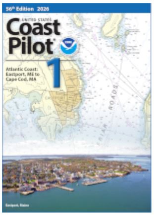
Safe navigation depends on more than plotting a course. That is where the Coast Pilot Series becomes an invaluable resource for new captains. OceanGrafix provides Coast Pilot books filled with important safety information for navigators of coastal waters, intercoastal waterways, and the Great Lakes.
These publications by the NOAA offer supplemental guidance that can be difficult to fully portray on a nautical chart alone. Topics include channel descriptions, anchorages, bridge and cable clearances, tides, currents, water levels, and local navigation considerations that captains may encounter during their voyage. For new captains learning how waterways truly behave beyond what appears on a screen, the Coast Pilot Series helps bridge the gap between navigation and real-world boating experience. The added detail can help boaters make smarter decisions before entering unfamiliar harbors or changing conditions.
USCG Light List Volumes and Navigational Awareness
Understanding navigation aids is another essential part of boating safely. The United States Coast Guard (The USCG) has Light List Volumes to help captains identify and interpret the lights and navigation markers they encounter on the water. OceanGrafix provides access to all seven volumes of the U.S. Coast Guard Light List, each covering different regions and waterways.
These volumes contain detailed information about lights, buoys, beacons, fog signals, and other aids to navigation used throughout maritime travel. For new captains, learning how to properly identify navigation aids can improve situational awareness and reduce confusion during nighttime boating or low-visibility conditions. Combined with nautical charts and GPS systems, Light Lists provide another layer of confidence and preparedness while navigating unfamiliar waters.
Tide Tables and Tidal Current Predictions
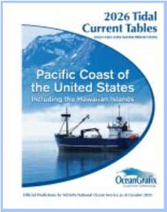
Water conditions are constantly changing, which makes tide and current information critical for safe boating. NOAA Tide Tables and Tidal Current Tables provide important predictions and navigation data produced through the National Oceanic and Atmospheric Administration (NOAA) and the National Ocean Service.
These tables contain tide and tidal current predictions along with associated navigation information that helps captains plan safer departures, arrivals, dockings, and route timing. Understanding tides and currents is especially important for shallow waterways, coastal navigation, inlet crossings, and marina approaches. For new captains, learning how tides affect navigation can prevent common mistakes and create a stronger understanding of how conditions on the water can shift throughout the day.
Navigate with Confidence
Every experienced captain started as a beginner, and one of the best ways to build confidence on the water is through preparation and trusted navigation resources. From up-to-date nautical charts and Coast Pilot guidance to Light Lists and Tide Tables, OceanGrafix provides products that help captains make safer and more informed decisions every time they leave the dock.
Boating safely is not just about protecting a vessel—it is about protecting passengers, preserving traditions, and building the confidence to enjoy the water for years to come. With the right tools and knowledge, new captains can navigate every journey with greater awareness, preparation, and pride.


©2026 Nautical Charts Online, All Rights Reserved.